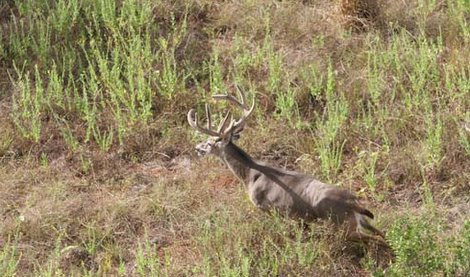
Aircraft, including both helicopter and airplanes, can be effectively used to obtain deer density, sex ratios, fawn survival, and deer distribution information in some portions of the US. Although more expensive to conduct than the spotlight and mobile deer surveys, the aerial survey does provide the necessary population data in a short time frame. This information can be utilized to provide harvest recommendations for the entire ranch, as well as individual pastures. So, does a helicopter survey make sense for your deer management program?
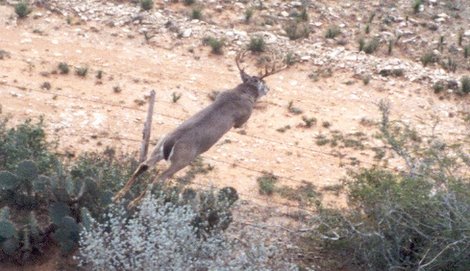
The helicopter survey is considered by some to be the most accurate census for determining populations on a given unit of land. However, the total number of deer recorded on helicopter surveys should not be considered a complete count of all deer. Studies indicate that accuracy of helicopter surveys in South Texas brushland is fairly consistent, but they can underestimate deer density by 60-70%!
As a result, the information gathered from this type of survey should be used only as population trend information and for the preparation of annual harvest recommendations with the understanding that the deer density figures are probably conservative.
Helicopter Surveys
For aerial surveys using a helicopter, surveys should start approximately 15 to 30 minutes after sunrise. On ranches with dense vegetation and/or hills, it is recommended to start at least an hour or more after sunrise due to shadows. Of course, the drawback to starting later is that deer movement is reduced — so you need to keep some of these factors in mind and make sure that survey techniques are consistent over time. Continue reading “Conducting Aerial Surveys for White-tailed Deer”